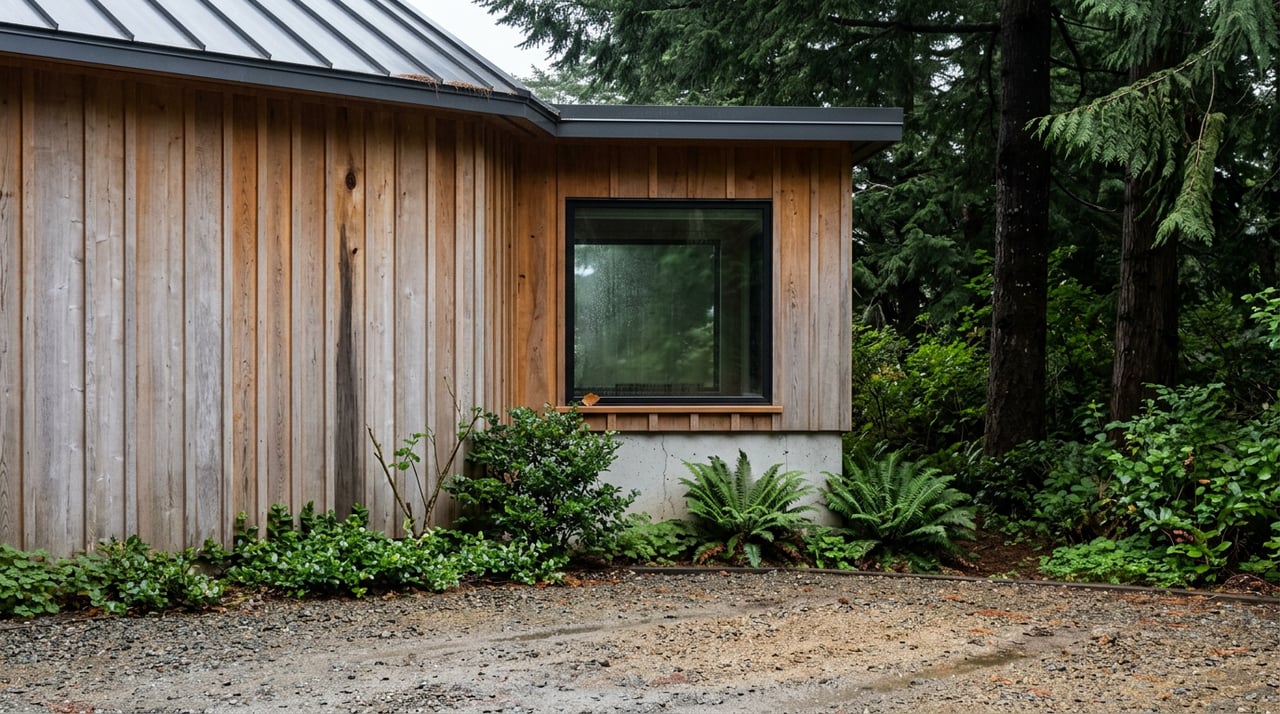
A 1.03-acre lot listed in Gleneden Beach reads as an acre of Oregon coast at first glance. Pull the zoning and it splits: 0.24 acres of R-1-A residential you can build on, and 0.79 acres of Timber Conservation you cannot. The parcel is honest. The per-acre math on the portal is not.
Lincoln County land looks priced in a tight band right now. LandSearch pegs the county average at $69,001 per acre across 1,649 acres of listed land in mid-2026, and Redfin's June 25, 2026 refresh puts the median land list price at $574,000. Those numbers are useful for a filter and misleading for a decision. What they conceal is the gap between deeded acreage and buildable acreage, and that gap is where Lincoln County transactions get renegotiated, delayed, or walked.
The Split-Zone Trick On A Salishan Hills Comp
The Salishan Hills comp is the clearest teaching case in the current market. The Q2 2026 Land and Lot Bulletin describes a lot at the top of Salishan Hills in Gleneden Beach where the buildable portion is 0.24 acres zoned R-1-A and the remaining 0.79 acres carries Timber Conservation designation for view protection and privacy. A separate active listing in the same gated resort community offers 47.43 acres of Timber Conservation ground with an already-approved homesite, asphalt access, and utilities at the street. Same county, same community, radically different price-per-acre math.
| Parcel type | Deeded acres | Effectively buildable | What the dollar buys |
|---|---|---|---|
| Salishan Hills view lot | 1.03 | 0.24 | A view corridor with a small footprint |
| Salishan Hills TC tract with approved homesite | 47.43 | ~1 to 2 (per approval) | A working homesite plus 15-year-old cedar and hemlock |
| Bay Hills Newport combined lots (MLS 26-890/26-935) | 0.72 | 0.72 pending septic | An elevated south-facing site with Yaquina Bay Bridge views |
| Schooner Creek RR-2 lot above tsunami zone | 0.14 | 0.14 pending well and septic | A small residential site outside inundation mapping |
Read across that table and the "per acre" question stops meaning anything. Buyers who anchor on the LandSearch or portal median are pricing land as if it were fungible. It isn't.
The number that matters in Lincoln County is not price per deeded acre. It is price per acre you can actually put a foundation on, once forest zoning, tsunami overlays, and sanitation approvals have taken their cut.
Three Overlays That Redraw The Buildable Envelope
Timber Conservation And Goal 4 Forest Zoning
Timber Conservation is not a decorative label. It implements Oregon's Statewide Planning Goal 4 and rides on ORS 215 and OAR Chapter 660, Division 6. The Oregon Department of Land Conservation and Development is explicit that forest zoning "seeks to retain forestland for commercial forest operations," typically through 80-acre minimum lot sizes, and that a parcel smaller than 160 acres generally cannot be divided further.
Building a dwelling on TC ground runs through one of five narrow tests. The large-tract path requires at least 160 contiguous acres west of the Cascades. The lot-of-record path requires the land to have been in the same ownership since 1985. The template path requires a prescribed number of existing dwellings and parcels established before 1993 inside a specified template centered on the subject parcel. Lincoln County's own TC dwelling checklist adds Forest Practices Act stocking, an authorized domestic water source, deed covenants against additional dwellings on the tract, and fire-retardant roofing. Practical translation: a TC parcel without an existing dwelling approval is not a homesite. It is an entitlement project, and the entitlement is what the 47.43-acre Salishan Hills tract is really selling.
Tsunami Inundation And SB 379
Every listing east of a certain contour reads one way. Every listing west of it reads another. The Q2 2026 bulletin specifically calls out the Schooner Creek RR-2 parcel as "above flood and tsunami zones," because that fact reshapes the buyer pool and the permit path.
Oregon's rules are set in ORS 455.446 and 455.447 and administered through OAR Chapter 632, Division 5. New essential facilities and specified special occupancy structures are prohibited outright inside the mapped inundation zone unless exempted or granted an exception by the DOGAMI governing board. Other new construction inside the zone triggers a consultation obligation with the State Department of Geology and Mineral Industries before final permit approval. The DOGAMI Natural Hazard Risk Report for Lincoln County maps building exposure by community across small through XXL Cascadia scenarios and quantifies combined earthquake-plus-tsunami loss ratios for the M9.0 event. That report, not a portal filter, is the correct starting document when a buyer asks what the overlay means for a specific address.
The insurance layer sits underneath this and cuts in a direction most buyers do not expect. National Flood Insurance Program policies do cover tsunami damage, because tsunamis are classified as flooding events under NFIP definitions. FEMA Special Flood Hazard Areas and DOGAMI tsunami inundation zones are two different maps measuring two different risks, and a parcel can sit inside one and outside the other. Underwriting a coastal build without pulling both maps is a common source of surprise premium at closing.
Septic, Water, And The Unimproved-Lot Gap
Utilities "at the street" is a phrase that hides a distinction. The Bay Hills lots in Newport have electric, phone, and cable at the street; the buyer must still apply for septic approval through Lincoln County. Schooner Creek's RR-2 lot requires the buyer to install both a well and a septic system. A parcel priced for its view is not the same parcel once a failed perc test is on the record.
Coastal soils, shallow bedrock, high winter water tables, and slope constraints make septic approval a materially different exercise from a valley-floor Polk or Yamhill County site. On a raw lot, the honest question is not "does this lot pencil?" but "does this lot pencil after a site evaluation, and what does an ATT or sand-filter system add to the build number?" Buyers who write offers before that answer is in hand are pricing risk they haven't measured.
How To Read A Lincoln County Comp Set
The correction is not complicated, it is disciplined. Three moves rebuild the price-per-acre number into something useful.
- Split the deeded acreage into residential-zoned acreage and forest-zoned acreage. Price the residential portion against similar small residential lots. Price the forest portion against timber comps, not against homesites.
- Cross-check the address against the DOGAMI tsunami evacuation viewer and against FEMA's flood map. A parcel sitting outside both, like the Schooner Creek RR-2 example, prices differently from an otherwise identical lot that sits inside one or both.
- Read the utilities line literally. "Available at the street" means the trench work is your problem, and "septic approval required" means the buildability is your problem. On unimproved parcels, condition the offer on a completed site evaluation.
Do that on the current 12 active parcels covered in the Q2 2026 Lincoln County bulletin, spread across Depoe Bay, Gleneden Beach, Lincoln City, Newport, Otis, Seal Rock, and Waldport, and the tight $40,000 to $450,000 asking band spreads into a distribution that reflects real risk rather than surface size.
Questions Buyers Ask
Is a Timber Conservation lot with an approved homesite really worth more than an equivalent residential acre? For a lifestyle buyer looking for privacy, view protection, and standing timber, yes. The approval carries deed restrictions prohibiting additional dwellings on the tract and locks the surrounding acreage into forest use, which is exactly the buffer some buyers are paying for. For a developer looking at density, no. The TC zone was written to prevent that outcome.
Does a tsunami-zone designation kill resale? No. Thousands of Lincoln County residents live inside mapped inundation zones and coastal communities in Lincoln County have all been certified TsunamiReady. Designation changes disclosure, permit path, and insurance conversation. It does not remove buyer demand for coastal proximity, which is why waterfront and view parcels continue to trade at premiums even inside mapped zones.
What is the single most common surprise in a Lincoln County land closing? A failed or conditional septic evaluation on an unimproved parcel. It is the item most often left uninvestigated during offer, and it is the item most likely to reprice the deal after acceptance.
Working With A Broker Who Reads The Overlays First
The Lincoln County land market rewards buyers who treat the listing sheet as a starting point and the overlays as the actual pricing model. Made Out West Land Co. works parcels in Polk, Yamhill, Marion, Linn, Tillamook, and Lincoln counties with timber valuation and land-use diligence built into every engagement, so the number in your offer is the number that survives underwriting, permitting, and closing.
Place your dreams in our hands. Contact us to discuss your land.