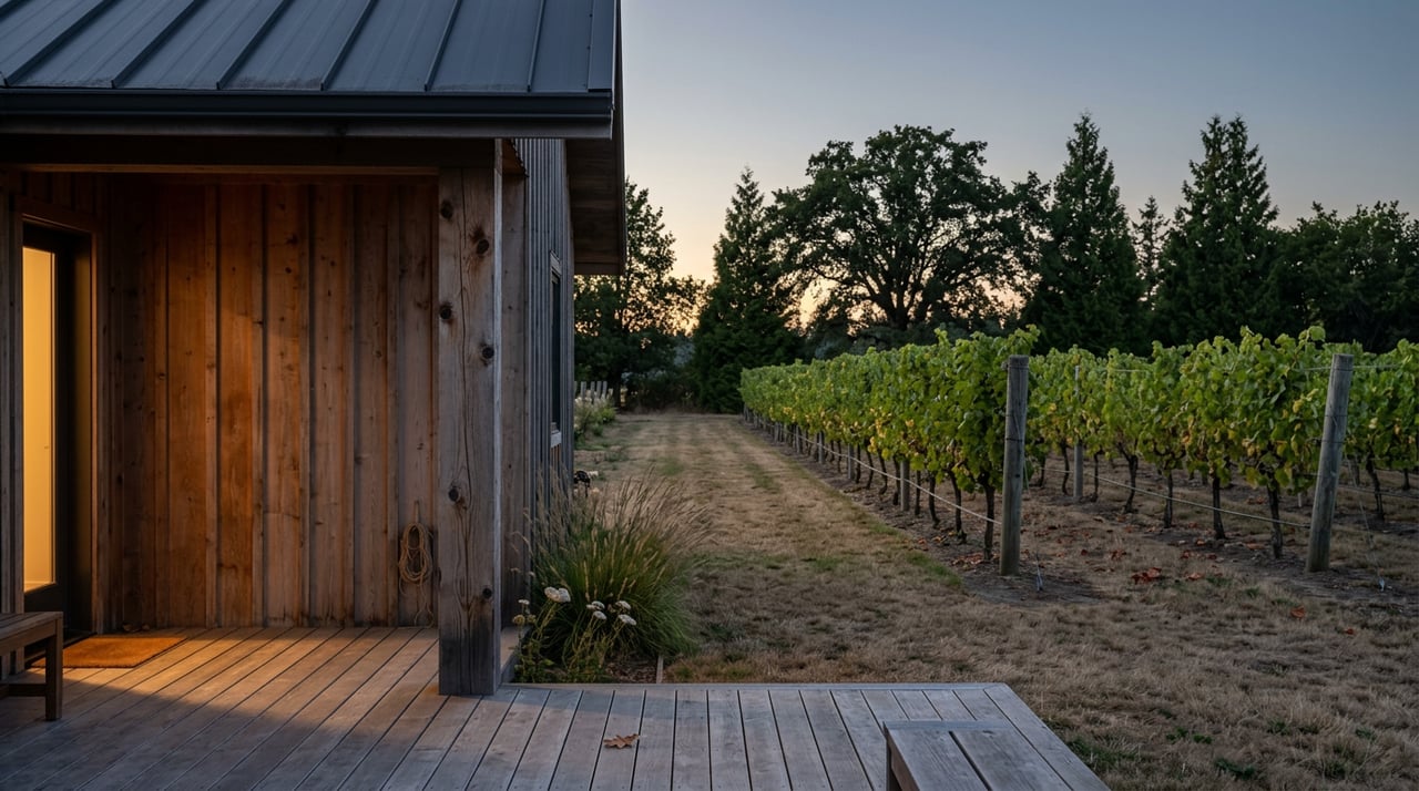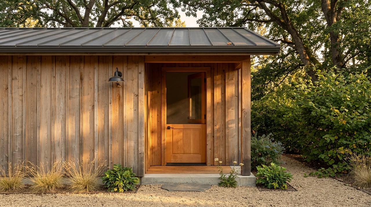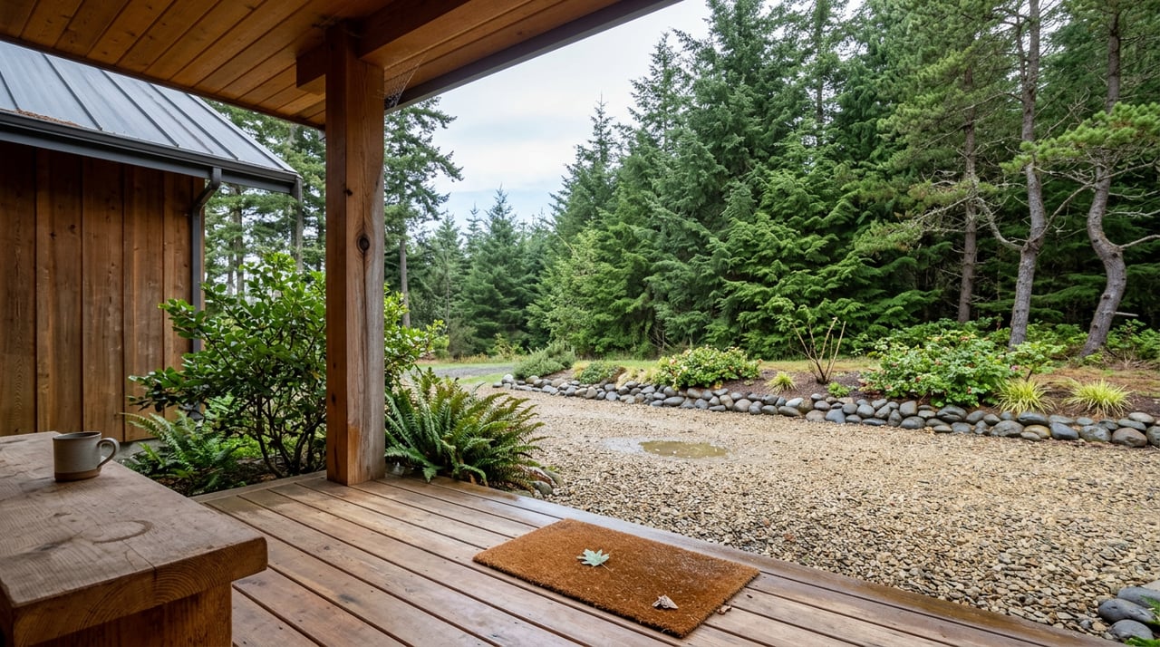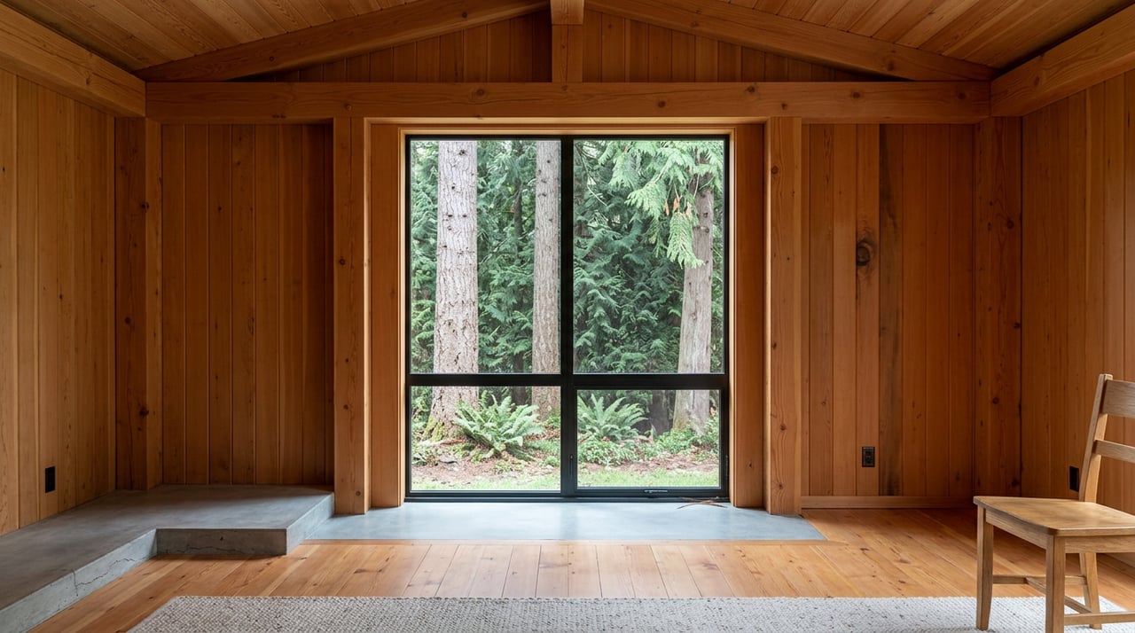
A cedar cabin on the McKenzie with 230 feet of river frontage lists cheaper per acre than the same square footage 40 miles west in the Willamette. The listing photos look right. The comps look right. The number that does not look right sits in the days-on-market column.
Houses along McKenzie Highway averaged about 98 days to sell, and in the Mohawk Valley about 105, according to Lookout Eugene-Springfield reporting from August 2025. That gap is not aesthetic. It is three overlays sitting on top of every corridor parcel that the portal price does not price.
The Number That Contradicts The Listing
Per-acre headlines up the McKenzie read cheap for a reason. The 2020 Holiday Farm Fire burned more than 173,000 acres and consumed hundreds of homes and businesses along the corridor, and five years on, not even half of the roughly 500 destroyed homes have been rebuilt. Supply is thin, comps are noisy, and the parcels that do trade carry frictions that suppress bidders rather than price.
| Submarket | Median days to sell (2025) | Primary friction on the parcel |
|---|---|---|
| McKenzie Highway corridor | ~98 days | WUI + hazard overlay, insurance repricing |
| Mohawk Valley | ~105 days | Full "Be Ready" evacuation footprint in 2020 |
| Spencer Butte foothills | Longer marketing tails reported | Property-level insurer scoring |
The corridor is not slow because buyers are absent. It is slow because a serious buyer opens three tabs before writing an offer: the Oregon Wildfire Risk Explorer, an insurance quote form, and the EWEB Pure Water Partners page. Each one can change the deal.
Three Overlays That Redraw The Parcel
The overlay only bites when two conditions meet
The Oregon Department of Forestry and OSU maintain the statewide wildfire hazard map, which sorts all of Oregon's 1.9 million property tax lots into low, moderate, or high wildfire hazard zones and indicates whether the tax lot falls within the wildland-urban interface. That second layer is the one buyers miss. Only properties in the WUI AND classified as high hazard are potentially subject to defensible space and fire hardening rules required by state law.
The state's model rules got sharper this year. The Oregon State Fire Marshal's January 2026 defensible space model code sets a noncombustible zone next to the structure where gravel, concrete, or bare dirt is permitted but firewood, lumber, or other combustible materials shall not be stored. For a McKenzie parcel this can mean the shed you photographed for the offer packet has to move, and the alder-and-salal understory that made the lot feel private has to be thinned back from the building envelope.
One important nuance for anyone reading a listing that says "not subject to state fire rules yet": the codes for both defensible space and fire hardening are currently in draft form and are not adopted for enforcement at the state level, and local adoption is happening county by county. That is a timing question, not a permanent exemption.
Insurance is priced off the property, not off the map
The map does not set the premium. State law says so. SB 82 prohibits insurance companies from using the wildfire maps as a basis for canceling or declining to renew a homeowner insurance policy, or increasing a premium. The pricing happens one layer down, at the property level.
Statewide, average premiums for Oregon homeowners insurance rose nearly 30 percent between 2020 and 2023 per the Oregon Department of Business and Consumer Services, and insurers operating in Oregon have paid out $4 billion in natural disaster-related insurance claims since 2020, more than quadruple the previous 40 years combined. Lane County is on the milder end of the state map but not off it. Lookout Eugene-Springfield documented a Spencer Butte area homeowner whose Farmers policy jumped 44 percent, with the carrier scoring the property on vegetation type and amount, slope, and firefighter access, on a zero-to-thirty scale where lower scores mean lower premiums.
Two practical implications for a buyer:
- Get three quotes before removing the financing contingency, not after. Surplus-lines premiums on a corridor parcel can add four figures a year to the carrying cost the loan officer used to qualify you.
- The Oregon FAIR Plan is the backstop, not the plan. Statewide FAIR enrollment sits at roughly 2,700 homeowners as of 2025, and fewer than 150 FAIR Plan enrollees are Lane County residents. That number reflects a market where commercial coverage is still available if the property scores well.
The EWEB overlay reshapes riverfront specifically
The utility that draws Eugene's drinking water from the McKenzie has been quietly rewriting where a house can sit on a corridor lot. EWEB's Pure Water Partners program offers a Homesite Relocation pathway with eligibility rules a buyer should read before they fall in love with a river-adjacent building footprint. The property must sit within the Holiday Farm Fire perimeter and within the Pure Water Partners boundary; the existing or prior land use permit must fall within a riparian setback area or Special Flood Hazard Area; relocation must meet or improve adherence to those setbacks; and Lane County land use and building permits must have been secured by October 1, 2025.
For a buyer today the October 2025 deadline matters in a specific way: it filters which parcels still qualify for EWEB grant support and which do not. A parcel where the seller missed that permitting window is not disqualified from purchase, but its buildable envelope is now yours to solve without EWEB's cost-share behind you. On the septic side specifically, EWEB has offered grant funding for landowners installing advanced septic systems or relocating infrastructure to reduce risk to the McKenzie, at 50 percent of out-of-pocket expenses up to $5,000. Modest, but real, and worth asking whether the seller banked it.
Comparable Selection Is The Real Trap
The corridor's post-fire supply is bifurcated, and appraisals reflect it. Rose Street Cottages, a six-unit downtown Blue River rebuild by the nonprofit McKenzie Community Land Trust, delivers homes families can purchase for about half of what a typical McKenzie River Corridor home would sell for. Those are policy-priced units, not open-market comps, and they should not drive a buyer's valuation of a private-sale acreage a mile upriver.
The clean read of a corridor comp needs three filters:
- Was the property inside the fire perimeter, and did it burn?
- Was it rebuilt to current code, or is the structure pre-2020?
- Was the sale price influenced by grant funding, land-trust program pricing, or an insurance-driven distress motive?
Strip those out and the true arm's-length comp set is small. That is the honest reason a broker who works this corridor spends more time on the phone than on the MLS.
A Pre-Offer Checklist For McKenzie Corridor Acreage
- Pull the tax lot on the Oregon Wildfire Risk Explorer and note both the hazard class and the WUI status. The rule bites only when both are present.
- Confirm the property's Pure Water Partners boundary status and whether the seller pulled Lane County land use and building permits before the October 1, 2025 EWEB funding window closed.
- Request three insurance quotes before the inspection period ends. Ask each carrier for the property score and the drivers behind it.
- Verify well and septic condition on their own, not through the homeowner's policy. EWEB's own guidance notes that most insurance does not cover wells and septic systems.
- Check evacuation geometry. A single-access driveway or a bridge without an alternate route is a real underwriting concern, not a lifestyle preference.
- Read the Seller's Property Disclosure carefully. Oregon's Seller's Property Disclosure Statement requires disclosure if the property is located in the wildland-urban interface, regardless of hazard level.
Questions Buyers Ask
Is a "high hazard" designation a deal-breaker? No. It is a cost input. The rule package only applies when the parcel is also inside the WUI, and even then, fire hardening rules will not apply to existing structures unless significant home updates occur. Price the mitigation, then decide.
Can I still get a mortgage on a corridor parcel? Generally yes, provided coverage is bindable. Lenders require homeowners insurance, and if commercial carriers decline, the Oregon FAIR Plan is the fallback. Model the higher premium into your qualifying ratios before you write the offer, not after.
What about parcels that were never in the burn footprint? Upriver of McKenzie Bridge and pockets north into the Mohawk drainage were spared structurally but sat inside evacuation orders. Insurance underwriting treats them as corridor risk regardless. The map, not the scar line, drives the pricing.
Does timber on the parcel help or hurt? Both. Standing merchantable Douglas-fir carries real value. The same trees within the defensible-space perimeter around a dwelling become a mitigation cost. Volume valuation and site-index work resolve the question by zone rather than by the parcel as a whole.
The McKenzie corridor rewards buyers who read the overlays before the listing photos. Priced correctly, a burned-and-rebuilt riverfront parcel can be a genuinely good buy. Priced off the portal alone, it is a slow sale for a reason.
When you are ready to test a specific corridor parcel against these three overlays, Made Out West Land Co. works this market the way it has to be worked, with timber-accurate valuation and a broker who knows which questions to ask before you sign. Place your dreams in our hands. Contact us to discuss your land.